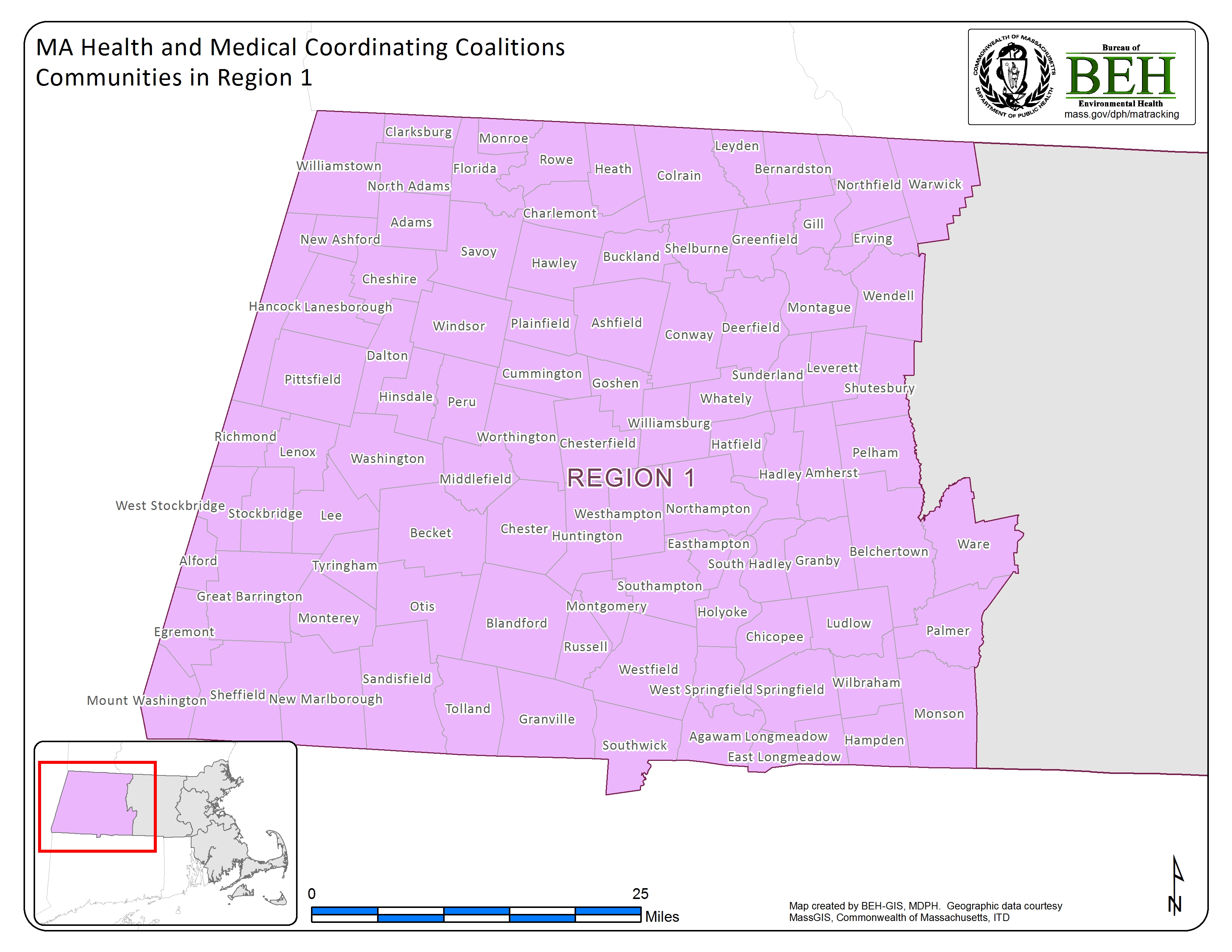
Map: HMCC Regions
- Region 1
- Region 2
- Region 3
- Region 4AB
- Region 4C
- Region 5
-
Communities in region:
- Adams
- Agawam
- Alford
- Amherst
- Ashfield
- Becket
- Belchertown
- Bernardston
- Blandford
- Buckland
- Charelmont
- Chesire
- Chester
- Chesterfield
- Chicopee
- Clarksburg
- Colrain
- Conway
- Cummington
- Dalton
- Deerfield
- East Longmeadow
- Easthampton
- Egremont
- Erving
- Florida
- Gill
- Goshen
- Granby
- Granville
- Great Barrington
- Greenfield
- Hadley
- Hampden
- Hancock
- Hatfield
- Hawley
- Heath
- Hinsdale
- Holyoke
- Huntington
- Lanesborough
- Lee
- Lenox
- Leverett
- Leyden
- Longmeadow
- Ludlow
- Middlefield
- Monroe
- Monson
- Montague
- Monterey
- Montgomery
- Mount Washington
- New Ashford
- New Marlborough
- North Adams
- Northampton
- Northfield
- Otis
- Palmer
- Pelham
- Peru
- Pittsfield
- Plainfield
- Richmond
- Rowe
- Russell
- Sandisfield
- Savoy
- Sheffield
- Shelburne
- Shutesbury
- South Hadley
- Southampton
- Southwick
- Springfield
- Stockbridge
- Sunderland
- Tolland
- Tyringham
- Ware
- Warwick
- Washington
- Wendell
- West Springfield
- West Stockbridge
- Westfield
- Westhampton
- Whately
- Wilbraham
- Williamsburg
- Williamston
- Windsor
- Worthington
Health and Medical Coordinating Coalitions, Communities in Region 1
|
|