Tutorials - Mapping:Finding Your Address |
- How to Use Tracking
- Home Page
- Finding a dataset
- Running a query
- Mapping: key features
- Mapping: advanced settings
- Tables
Overview:
- Want to locate the environmental health statistics for a particular area?
-Find your home, workplace, or even your child’s school - Use base maps to add a street map layer
- Follow the step-by-step directions below:
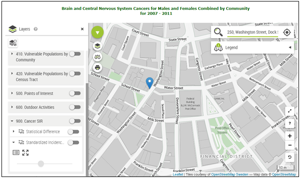
1. Search:
Type an address in the search bar. Click on the desired location from the dropdown menu.
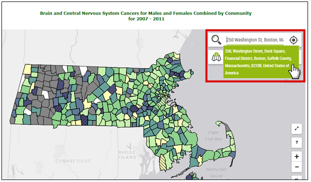
2. Search:
You will automatically be redirected to the location (blue pin).
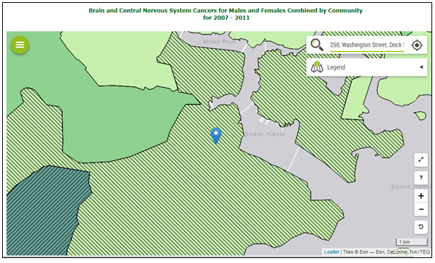
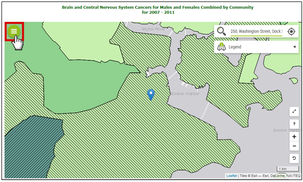
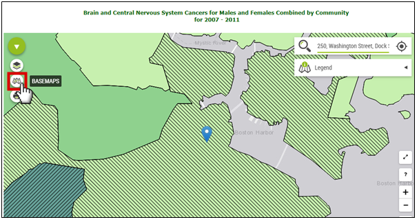
3. Base Maps:
Click on the green circle icon on the top left of the map.
4. Base Maps:
Click on the base maps icon. When you hover your cursor over it, the word BASEMAPS will appear.
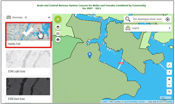
5. Base Maps:
Select a map type. There are a variety of street map options. There is also a satellite map option under ESRI World Imagery.
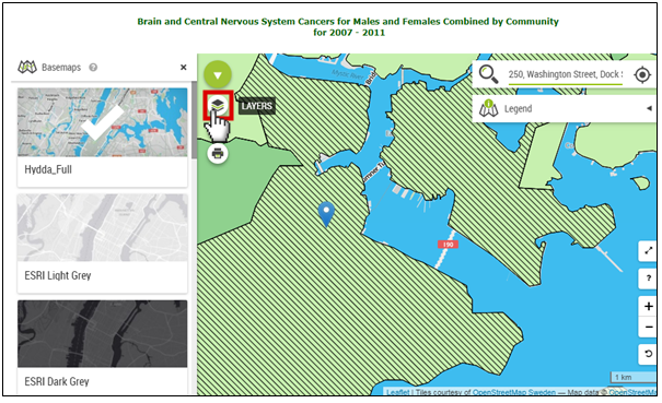
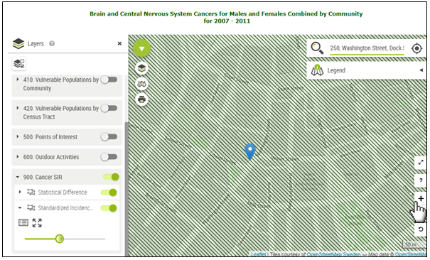
6. Transparency:
Use transparency to fade your disease outcome, so that you can see the base layer too. Start by clicking on the Layers icon.
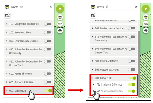
7. Transparency:
Select the layer you would like to make more transparent. Query data is always the last layer in the list.
8. Transparency:
Click, hold, and drag the slide bar to the left to adjust for transparency.
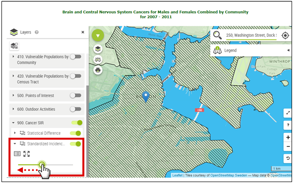
9. Transparency:
Zoom in closer if necessary.
10. Remove Layer:
To remove a disease outcome layer, click on the green toggle for the category, so that it slides and turns gray.
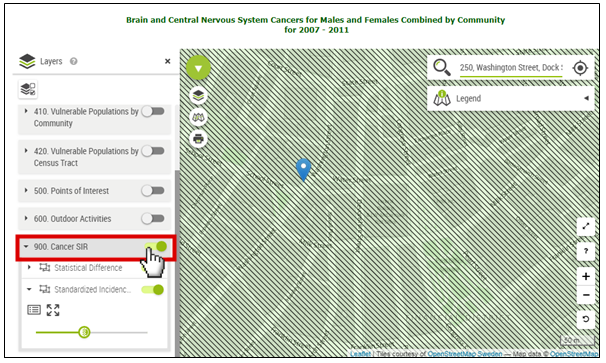
11. Remove Layer:
The base map is now completely visible.